Iphigénie the mapping app
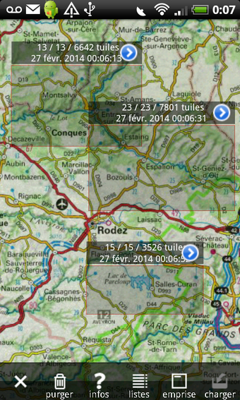
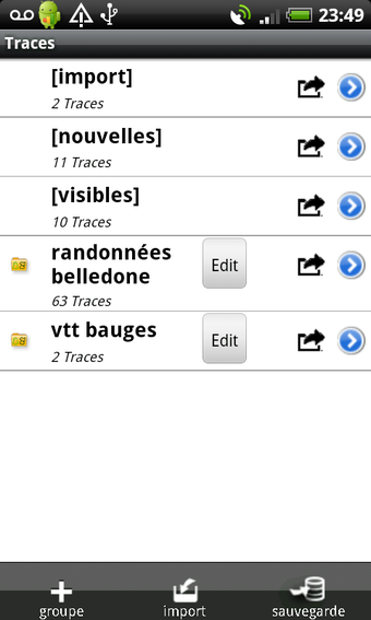
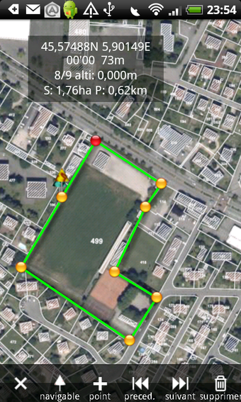
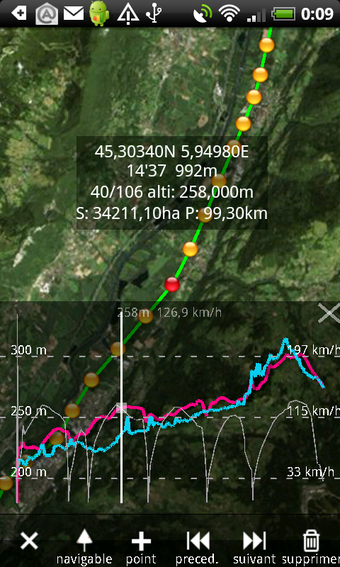
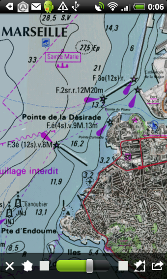
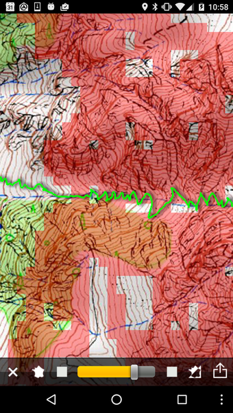
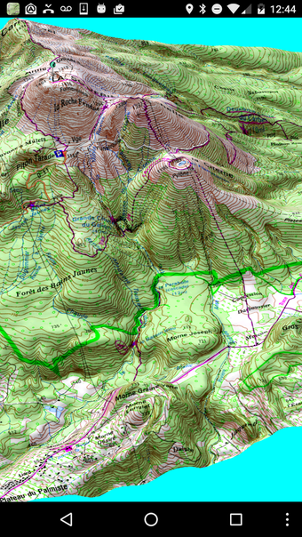
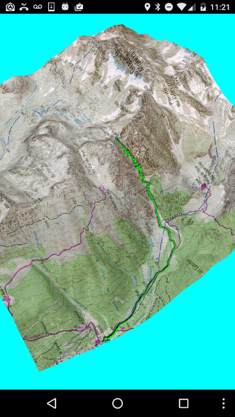
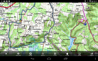
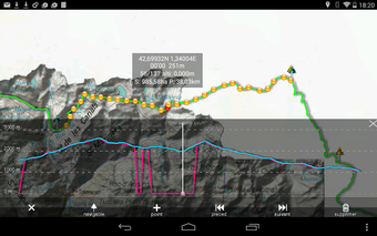
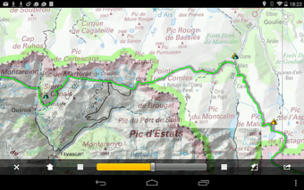
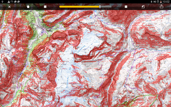
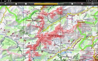
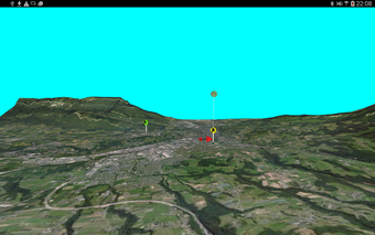
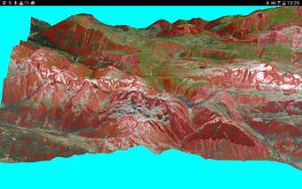
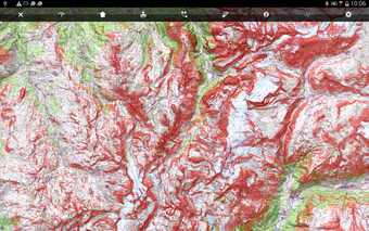
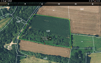
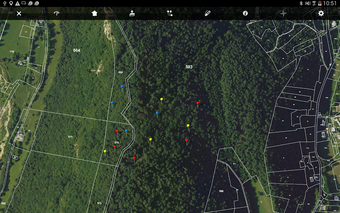
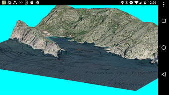
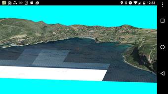
Iphigénie is a mapping app that offers a comprehensive range of French maps from the National Geographic Institute. The app is ideal for outdoor enthusiasts, hikers, and bikers who require accurate maps. The app provides topographic maps, ortophotos, street and cadastral maps from the Geoportail, and displays your precise position with GPS and phone and wifi interpolation. All maps displayed once are stored in the device and are available even with no network (offline mode). The app also offers free worldwide coverage through OpenStreetMapopenCycleMap, Spain, Germany, Italy, Norwey, IGN-littoral, and other new maps from IGN. Users can purchase the optional Amax module through In-App Purchase to add extended features such as Waypoints management, tracks and route recording, automatic downloading of maps along a predefined track, and search for any toponym present on a map. The app also allows people you authorize to follow your position on a detailed map, either on support web site on inside the application.